I have been involved in remote sensing education since the late 1990's. Recently I have seen a shift from the traditional lecture and textbook style teaching towards more dynamic and interactive learning resources. With a large number of my own students studying online, it has become critical for me to develop learning materials that are engaging and readily available. I hope that you enjoy by continually evolving learning resources and please send me feedback.
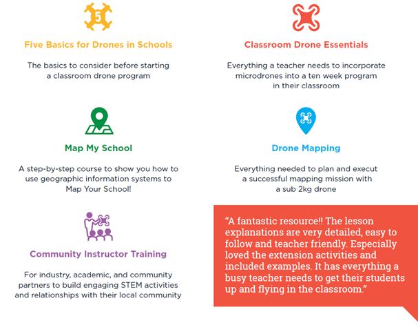
In my latest project, I am creating geospatial and drone technology resources specifically for school teachers. I'd love you to join me at She Maps Education! We just held the World's First Online Drone Education Conference, EduDrone with 40 speakers from around the world and more than 200 attendees from 15 countries! If you missed the conference, never fear! We recorded all sessions and you can now access online and binge watch to your heart's content :)

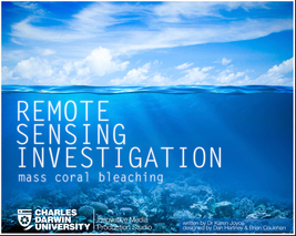
The Remote Sensing Investigations series is designed to address the need to learn through solving real world problems. This first tale centres around a scenario of coral bleaching in the Great Barrier Reef, Australia. Can you, as a remote sensing scientist assist with identifying the bleaching extent? Will you impress your boss, or risk losing your dream job? Click here to find out!
Written by Karen Joyce (PhD), and designed by Dan Hartney and Brian Coulehan, this short fable is aimed at students undertaking introductory remote sensing classes. Readers are required to continually make decisions associated with data capture and processing, consistent with a real life scenario. With numerous endings, and even more potential pathways, students can read the story multiple times to determine the consequences of their decisions.
Written by Karen Joyce (PhD), and designed by Dan Hartney and Brian Coulehan, this short fable is aimed at students undertaking introductory remote sensing classes. Readers are required to continually make decisions associated with data capture and processing, consistent with a real life scenario. With numerous endings, and even more potential pathways, students can read the story multiple times to determine the consequences of their decisions.

With over 100 videos and continually growing, my YouTube channel is one of the most comprehensive repositories of software demonstrations and theory videos available for remote sensing and GIS. It includes:
- Short theoretical explanations of complex topics, snippet style;
- Lecture and seminar recordings;
- Demonstrations of ENVI, ArcGIS, Ecognition, and Google Earth;
- Examples of field data collection techniques; and
- Cartoons and animations of remote sensing concepts.


